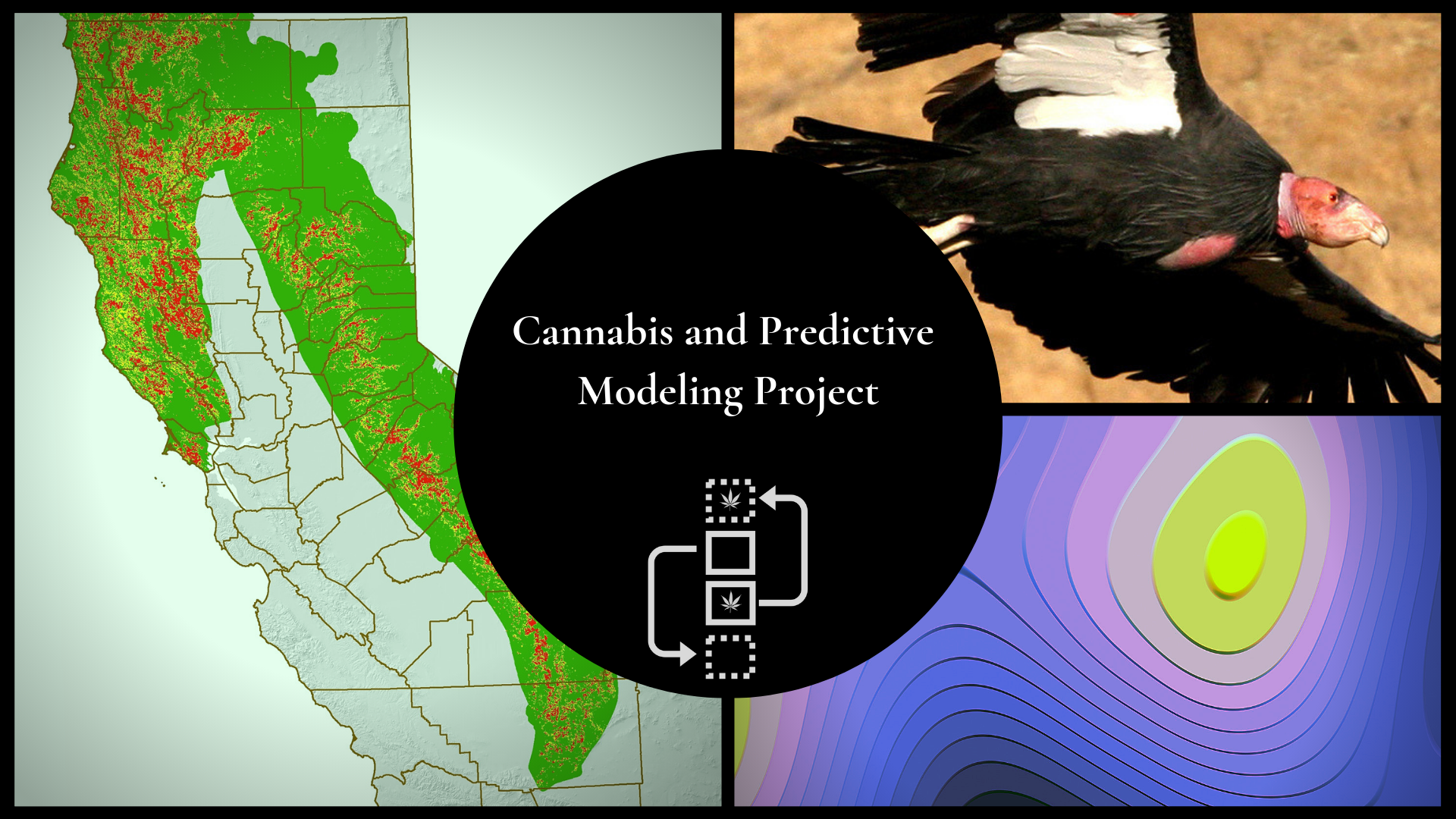
Modeling is a tool used to assist ecologists in understanding complex spatial, temporal and biological patterns across large scales. One type of model IERC scientists are using, called MaxEnt, draws environmental information from known locations of a species and extrapolates that information to predict likely locations of the species in areas with no known occurrences. We are using this modeling technique to predict the relative likelihood of illegal cannabis cultivation across northern California and Sierra Nevada forests based on a unique database of historical and current cultivation site locations expanding throughout California for several years.
Objective: Our goal is to generate an ecological risk map of the environmental threats associated with cannabis cultivation using MaxEnt. We can understand the hazards to certain species by overlaying this risk map with their high quality habitat and known species ranges. In particular, we are assessing the landscape of environmental threat for fisher, Humboldt marten, northern spotted owl and California condor, which will assist land and species managers in prioritizing the most cost-effective geographic areas for conservation actions.
Time Frame: IERC initiated this project in 2015 and it will be completed in 2020.
Project Support: United States Fish and Wildlife Service, California Department of Fish and Wildlife Law Enforcement Division, Conservation Biology Institute, United States Forest Service Law Enforcement and Investigations